1 / 2
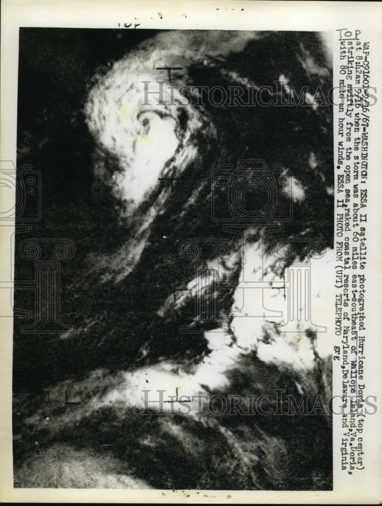
1967 Press Photo Satellite Photographed During Hurricane Doris Island Virginia
ESSA II satellite photographed During Hurricane Doris (top center) at 8:42 a.m. on September 16 when the storm was about 60 miles east-southeast of Wallops Island, Virginia. Doria, striking swiftly from the open sea, raked coastal resorts of Maryland, Delaware and Virginia with 80 miles an hour winds.
Photo is dated 1967.
Photo measures 7 x 9.25 inches.
Photo is dated 1967.
Photo measures 7 x 9.25 inches.
$7.00
Original: $19.99
-65%1967 Press Photo Satellite Photographed During Hurricane Doris Island Virginia—
$19.99
$7.00Product Information
Product Information
Shipping & Returns
Shipping & Returns
Description
ESSA II satellite photographed During Hurricane Doris (top center) at 8:42 a.m. on September 16 when the storm was about 60 miles east-southeast of Wallops Island, Virginia. Doria, striking swiftly from the open sea, raked coastal resorts of Maryland, Delaware and Virginia with 80 miles an hour winds.
Photo is dated 1967.
Photo measures 7 x 9.25 inches.
Photo is dated 1967.
Photo measures 7 x 9.25 inches.